Examples
Notes: These examples use deck.gl to visualize loaded data and only cover a subset of the available loaders. Check the loader catalog to see if the format you need is available.
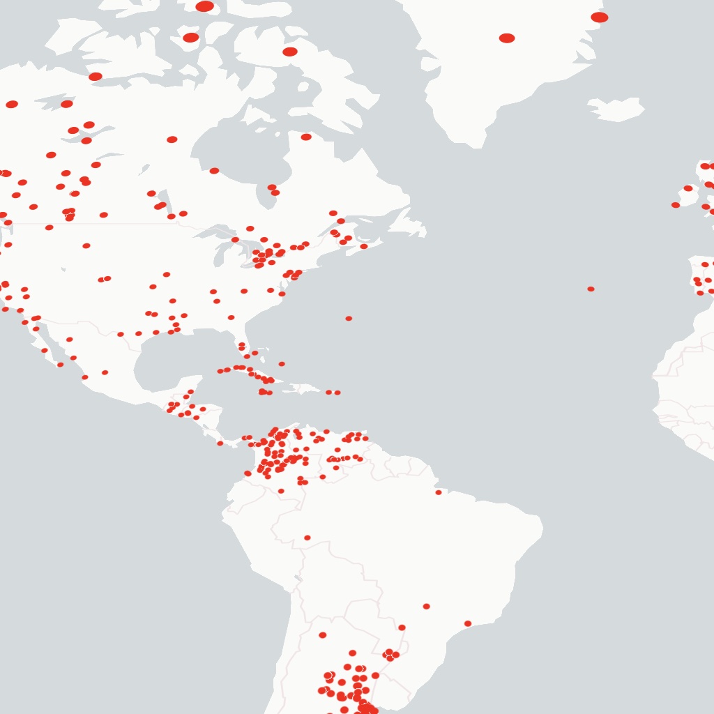
Geospatial Table Formats
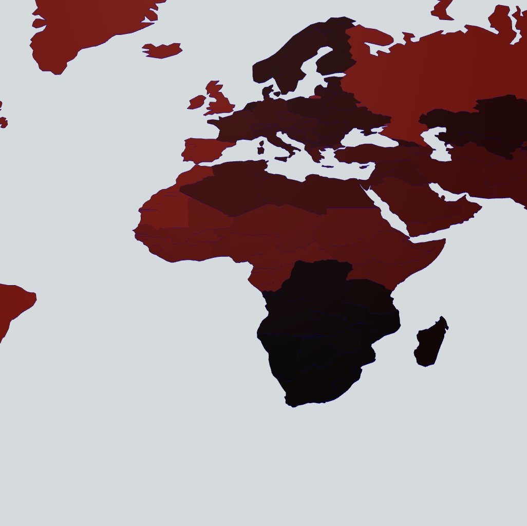
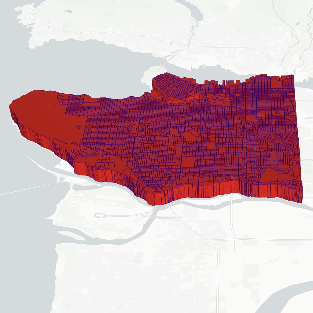
FlatGeobuf
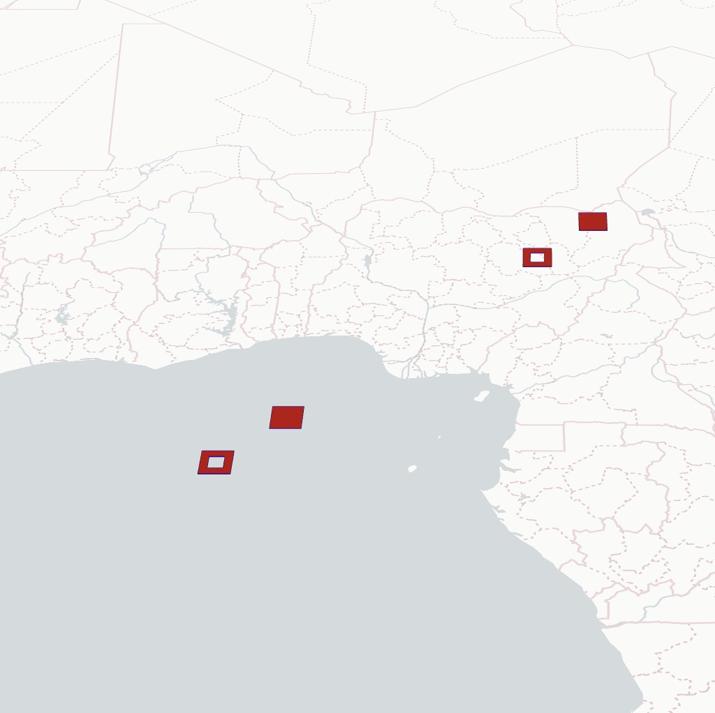
GeoArrow
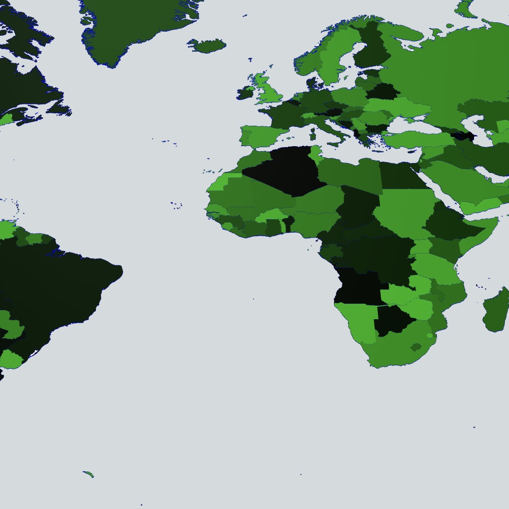
GeoParquet
GeoPackage
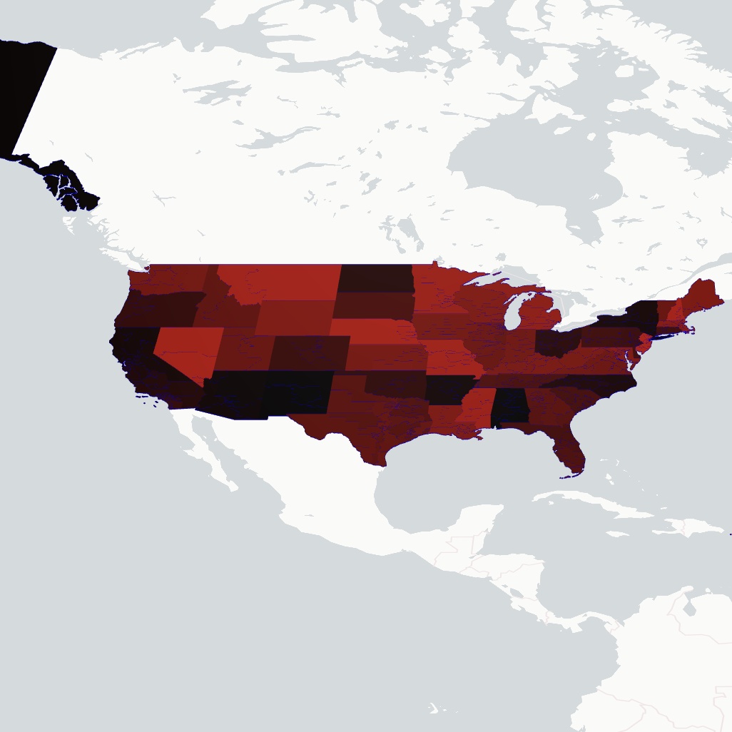
GeoJSON
Shapefile
KML
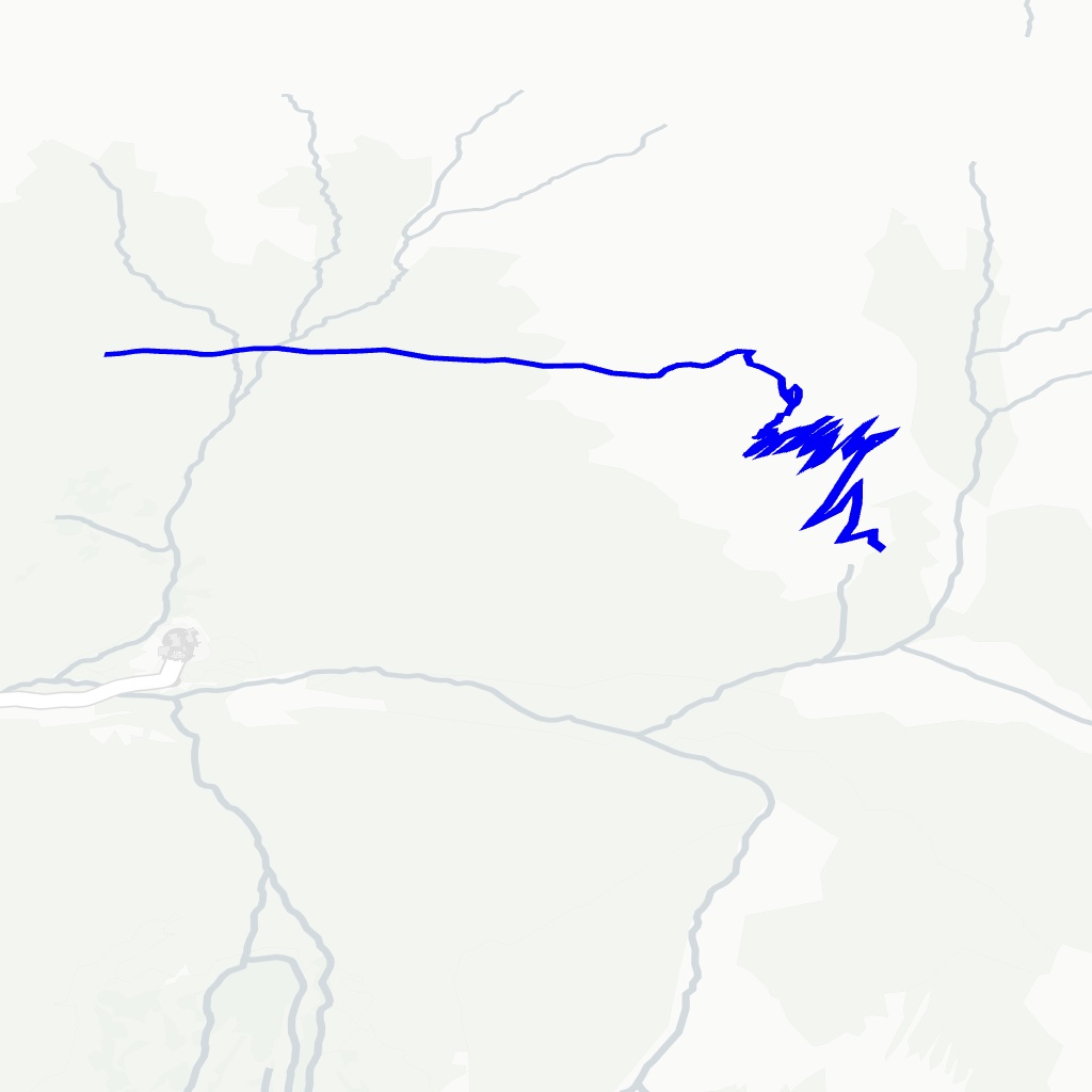
GPX
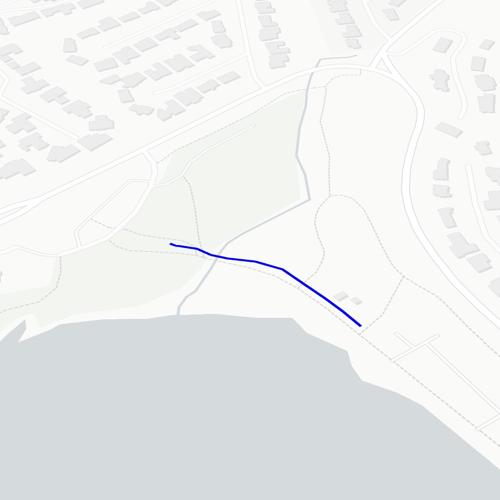
TCX
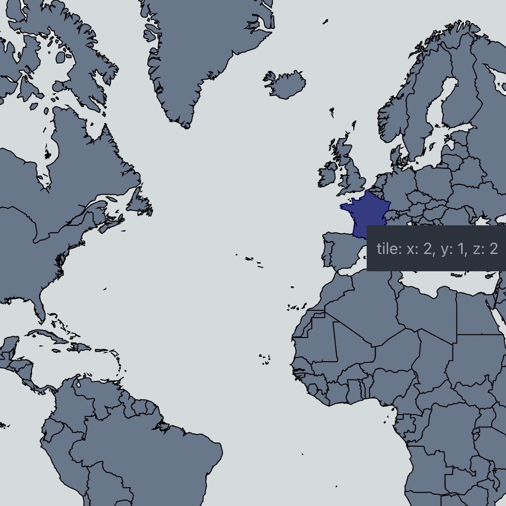
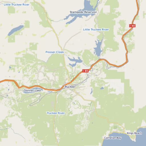
Geospatial Tile Formats

Mapbox Vector Tiles
PMTiles
TableTileSource
WMS

MapLibre Tile (MLT)
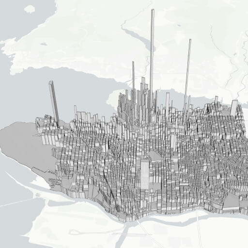
3D Tile Formats
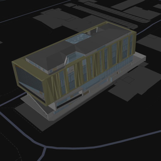
I3S Building Scene Layer
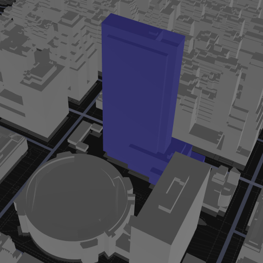
I3S Picking
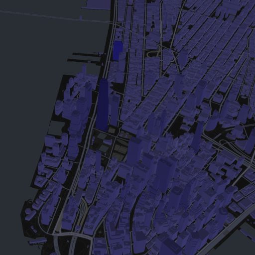
I3S Colorization by Attributes
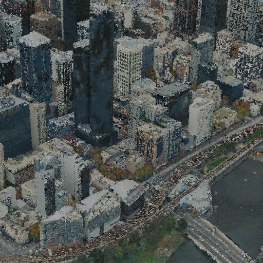
3D Tiles
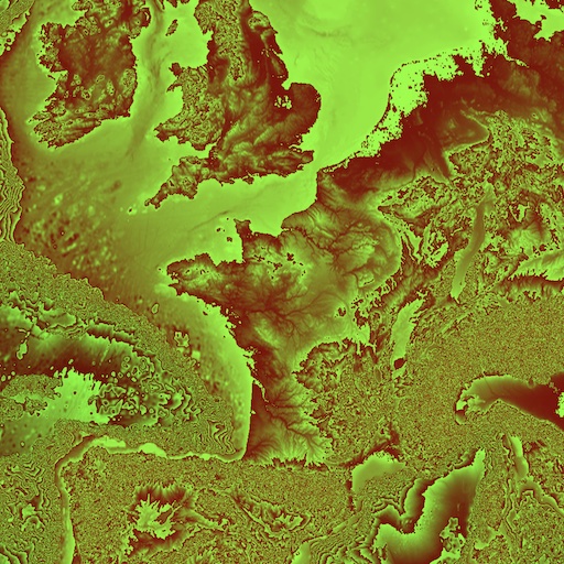
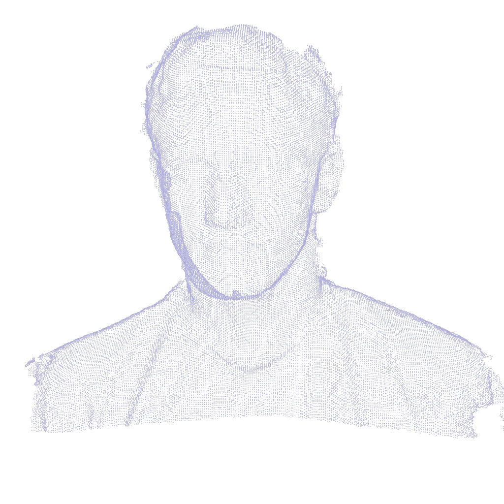
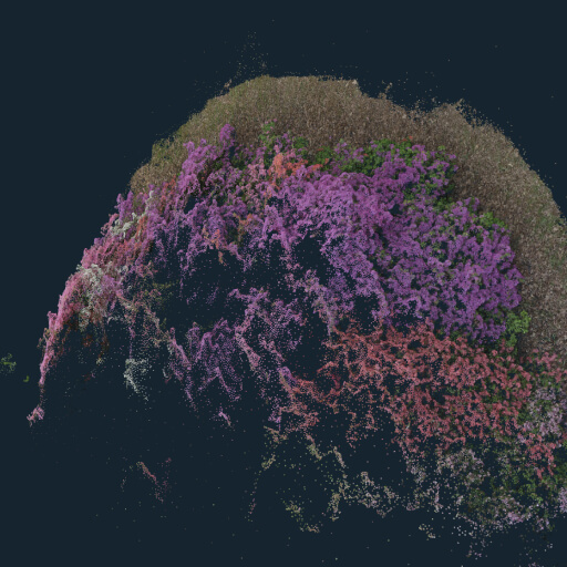
Point Cloud Formats

Draco
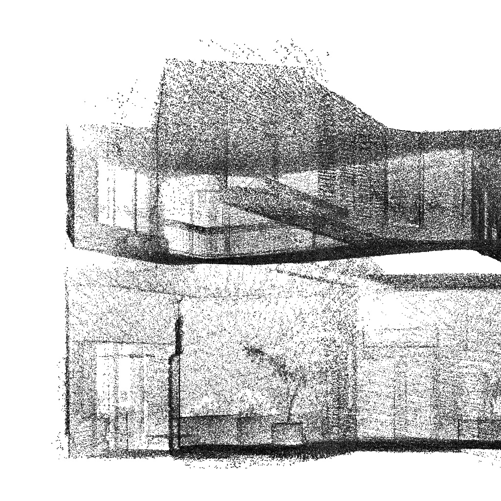
LAS
PCD
PLY

OBJ
General Formats

Textures